


It’s not the news farmers wanted to hear as they hustle to get the crop in the bin. Significant rainfall is expected to strike southwest Saskatchewan thanks to a low pressure system moving up from Montana. Areas around Maple Creek, Swift Current, Kindersley, and Leader could see anywhere between 40 and 70 millimeters of the wet stuff. Thunderstorms are possible with this system which means rainfall amounts could reach as high as 100 millimeters, although the weather experts aren’t sure how severe the storms could be at this point. According to meteorologists, the rain may start Tuesday night and continue into Wednesday.
The Weather Network says overnight rain could be heavy at times and wind may be a factor, especially on Wednesday. Meteorologists predict the the system will generate strong northwest winds with gusts of up to 80km/h.
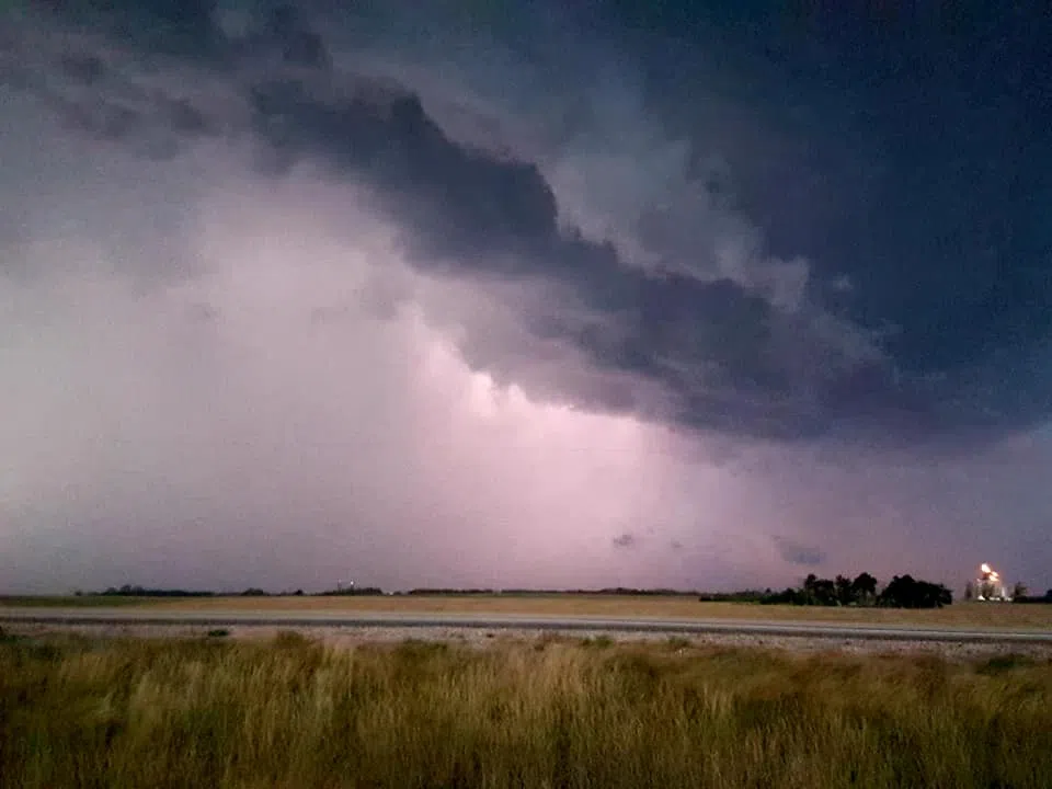
(pictured: storm clouds over the prairies)
The Regina area may escape the worst of the weather system, seeing 10 to 25 millimeters of rain. The system will move northeast across the province bringing rain to a wide swath of Saskatchewan. While the news is welcomed by some, many farmers are still harvesting crops and don’t want to see a delay. According to the most recent crop report, 61 per cent of the harvest is complete in the province with the southwest region seeing the most progress at 85 per cent completed.
The weather system should be out of the southwest region by Thursday afternoon.
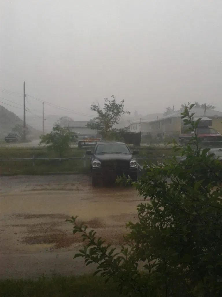
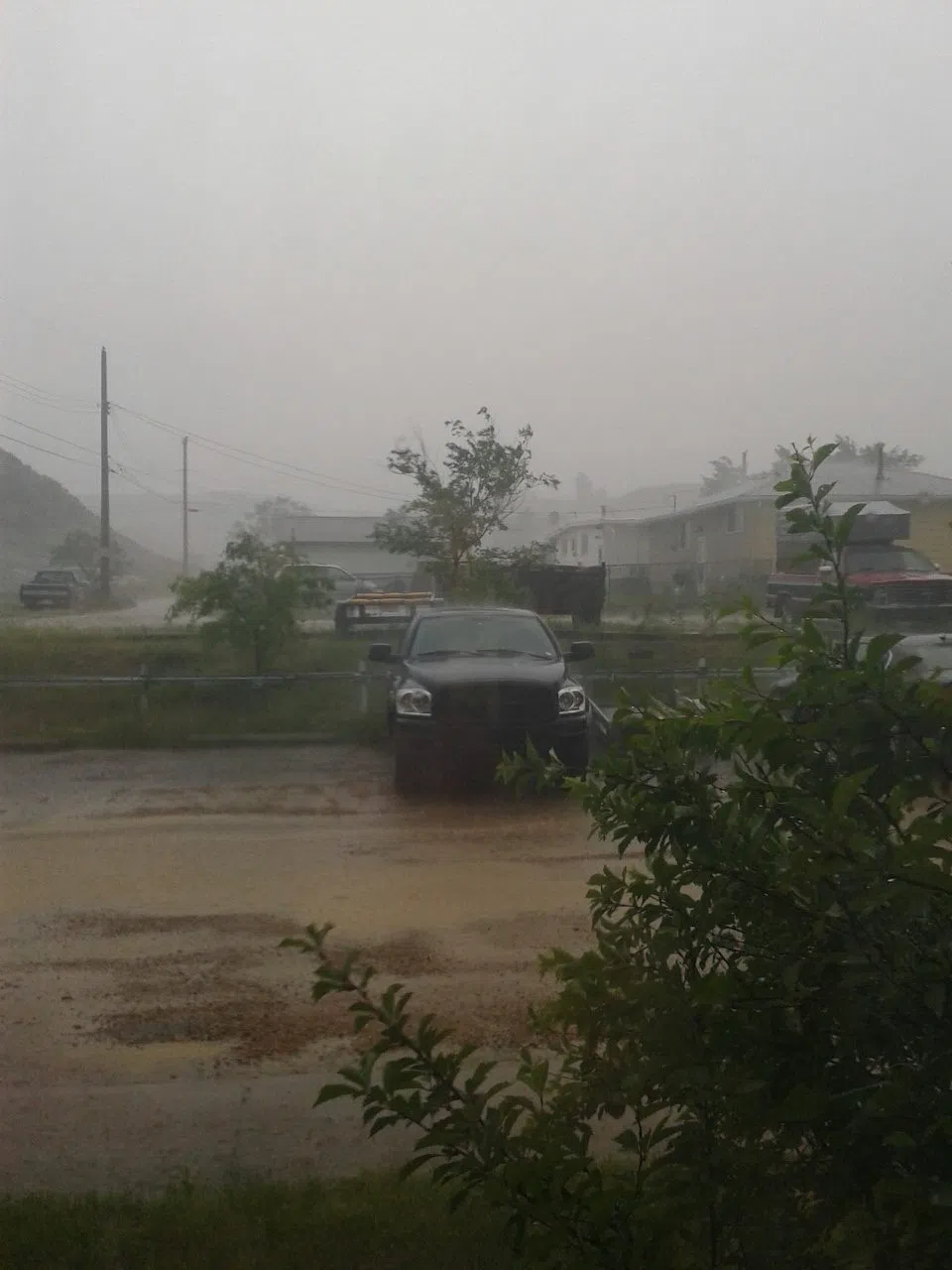
(pictured: heavy rain from a past prairie storm)