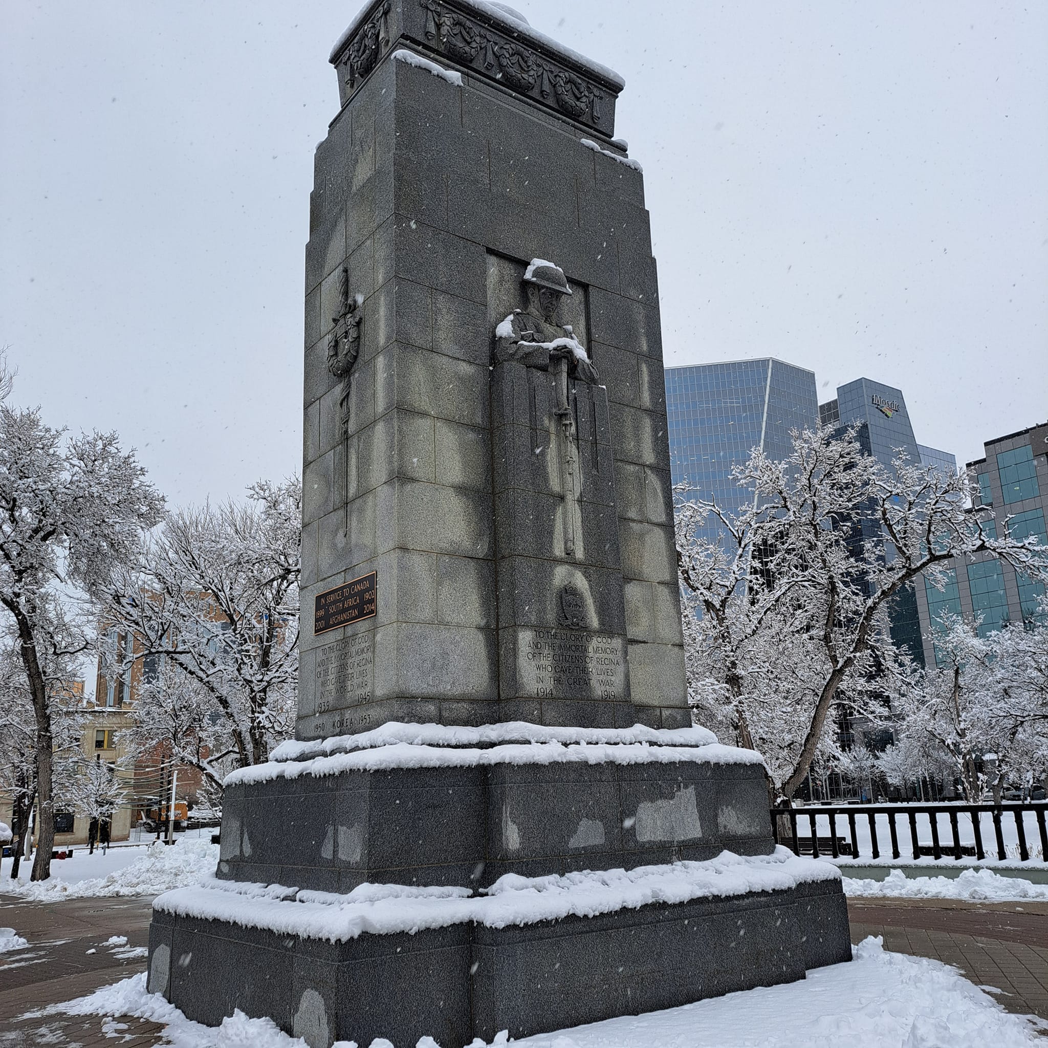
A shot of warm weather is coming to southern Saskatchewan Tuesday before temperatures return to somewhat normal.
Environment Canada’s Terri Lang says the warm temperatures are in large part thanks to a large upper ridge of high pressure hovering over western Canada.
“We’ve seen some record-breaking temperatures — even into the artic — so this is a pretty strong ridge, but it is showing signs of breaking down.” Lang said. “We’ll get through a couple more mild days, Tuesday looks particularly mild, we may even see some records broken across some parts of southern Saskatchewan.”
Lang says surprisingly, 7°C is not a record high for the Regina area.
“The record high for Regina for (Tuesday) is actually 15°C, so that will be a pretty tough one to crack.”
Lang says it looks like snow could hit southern Saskatchewan late Wednesday or early Thursday.
“It looks like it (the weather system) is kind of going to skidder along the U.S. border, and most of the snow will be along Highway #1 and south so people should be prepared for that,” Lang said. “It doesn’t look like much in the way accumulation — maybe only up to about five centimetres or so — but after that, the temperatures do drop, so there’s a better chance that any snow that does fall may stick around for a while.”
After that system blows through, Lang says temperatures will drop by the weekend to around -10°C.
